

Think your rural, countywide planning project needs truckloads of time, money, and resources to get meaningful community input? Think again! California-based urban planning firm Mintier Harnish shares community mapping tips from recent experience updating the Trinity County General Plan. To resourcefully collect detailed input from communities scattered throughout California's rugged mountains, planners turned to the Maptionnaire Community Engagement Platform.
“We needed to gather public input on community-specific topics… for the development of eight separate community plans within the county, a difficult task given the county’s large geographic area,” tells Michael Gibbons, Project Manager at Mintier Harnish, “with Maptionnaire we were able to gather similar feedback to that of traditional, in-person workshops and engage a larger audience over an extended period of time, all while increasing the convenience for public input and reducing costs for the County.”
The challenges of rural community engagement
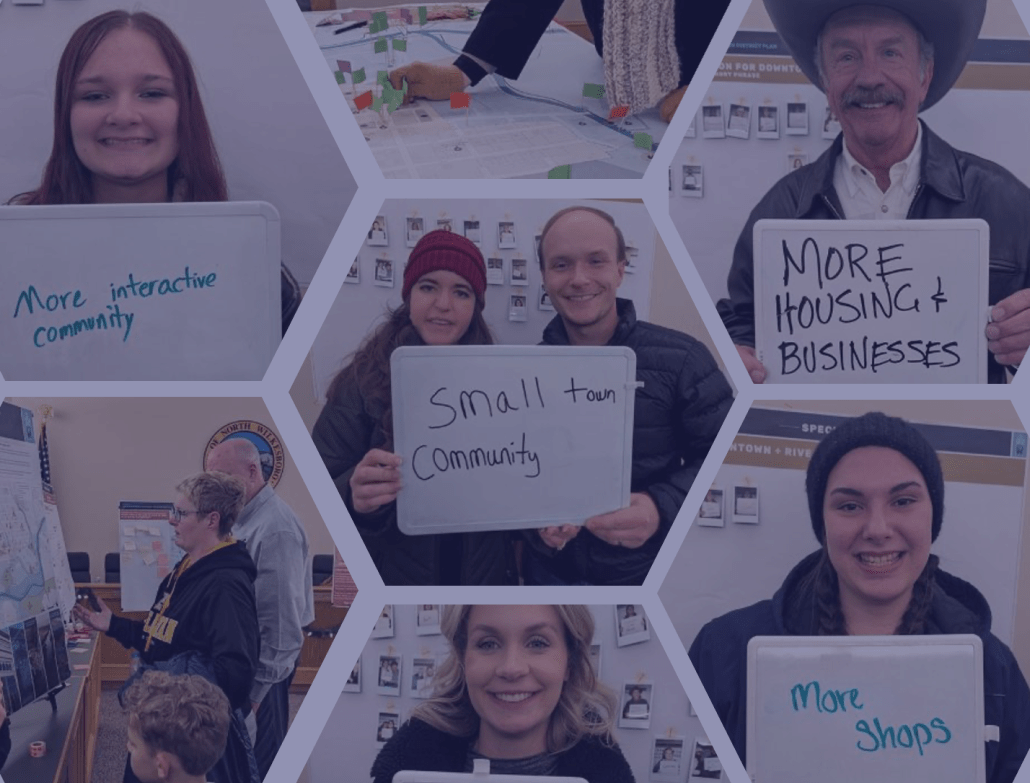
Even in urban planning settings, traditional community workshops don’t always reach a broad cross-section of the community. An event’s specific time and location can limit access for many residents -- and planners who work with rural communities know this challenge multiplies with distance.
It is becoming increasingly difficult to get community members to attend traditional community workshops where there is ample time and space to engage participants with mapping exercises
Nikki Zanchetta, Planner at Mintier Harnish
Planners can engage more residents using nimbler face-to-face events like community pop-ups. However, short interactions don't always cut it. For the Trinity County General Plan update, Mintier Harnish needed to map more detailed community insights than a quick chat would allow.
Accordingly, the planning team’s original strategy was a countywide series of workshops – until they realized the resources it would take. What’s more, a costly series of in-person events would still limit participation.
Why Mintier Harnish chose digital community mapping
To create plans that address the unique needs of each community, it was essential to establish geographic boundaries and identify significant local landmarks and resources for each community. So, Mintier Harnish decided to reach residents through a digital map-based questionnaire – a maptionnaire. “Maptionnaire enabled us to gather robust community data that could be mapped, which we used as the foundation for establishing each community’s geographic boundary and community plan,” says Gibbons.

And the cherry on top? The planning team found that the digital responses were faster and easier to analyze than the typical push-pins and sticky-notes. Exporting responses directly into GIS-compatible files was a big time-saver for the planning team.
Another reason was that digital tools really shine when community engagement happens off the beaten path. User-friendly, mobile-friendly, in-browser platforms allow more community members to participate whenever, wherever.
Nothing can replace in-person workshops and interactions, but finding new ways to still meaningfully engage with people in an increasingly virtual world is important to any successful community planning process.
Nikki Zanchetta, Planner at Mintier Harnish
Complementing in-person workshops and pop-up events with a maptionnaire saved resources and opened up participation to even the furthest reaches of Trinity County. This laid groundwork for high-quality, inclusive community plans.
Tips for resourceful countywide engagement
Does Mintier Harnish’s community engagement in Trinity County remind you of projects you’ve been working on? Here are some of our key takeaways from hearing their story:
- Start by choosing participation tools that fit your project’s needs. In the Trinity County General Plan update, mapping exercises were essential to identifying community boundaries and other community assets.
- Meet people where they are, by including an online participation option. “Meeting people where they are is an important part of effective community engagement, and these days, where people are is online,” advises Gibbons.
- Collect easily-to-analyze data. Streamline workflow by using a platform that can simultaneously collect and analyze responses. An online format also makes it easy to download the responses as GIS-compatible files, when a project calls for deeper analysis. These features cut back on the time it would take to input mapping responses from an in-person activity.


.jpeg)
.webp)

.webp)

.webp)
.png)


